Orohydrographic maps


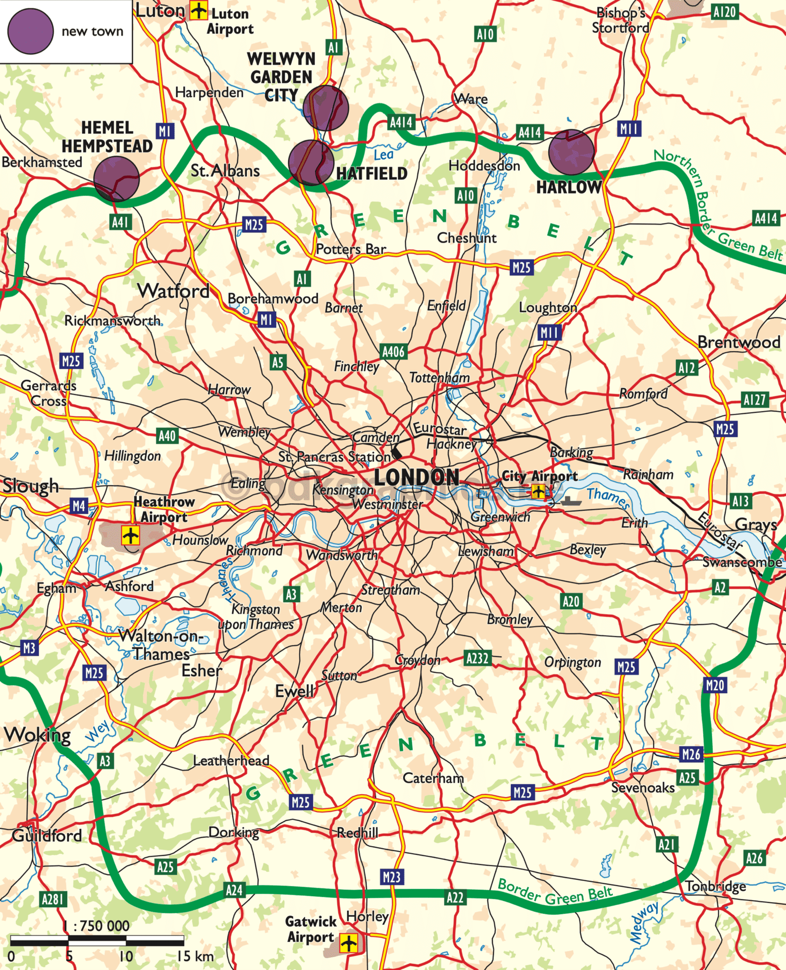
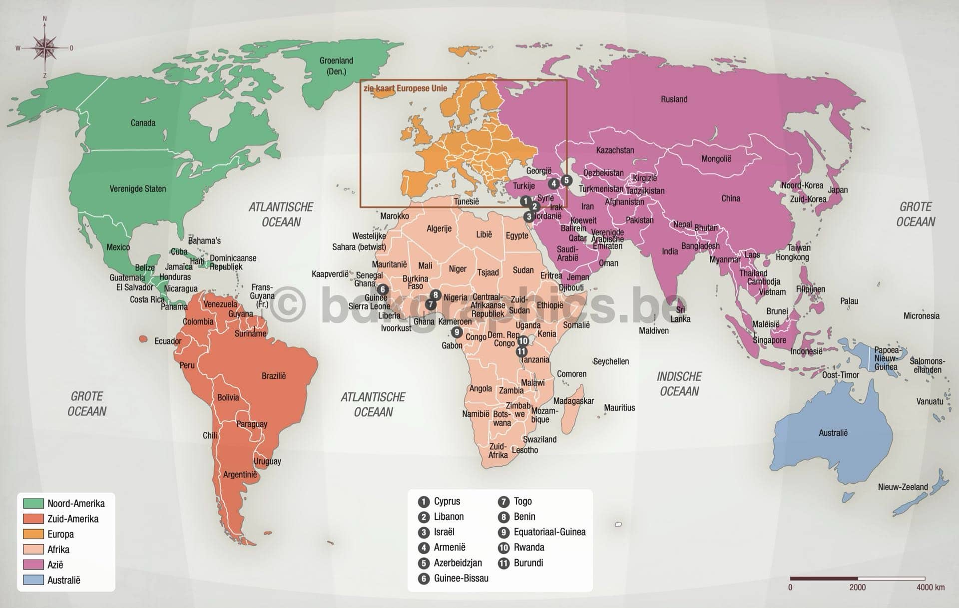
We would love to show all our work here, but our clients should be the first to showcase their projects.
Leave your email address and we will send you an unlisted link to our full portfolio.

You will not be left with files that are difficult to edit without specialist GIS software, or risk losing their georeferencing when you make changes.
We deliver our maps in the latest version of Adobe Illustrator. The source files contain multiple layers and remain fully editable in Illustrator.
We prefer to work with native Adobe Illustrator PDF files. These files can easily be used directly by the prepress team. PDF files can also be easily opened by other contributors such as authors. Last but not least, PDF files allow anyone to add comments so we can quickly work with your feedback.
Of course, we are completely open to your approach. No problem if you prefer a different approach.
We combine GIS software with manual work to create your maps. We can handle a wide range of map types, whatever the level of detail or variety of data sources.


As a partner in several large projects, we know all too well how complex such a project can be.
Everyone involved needs to be on the same page, and the illustrator needs complete, clear instructions. Keeping track of the initial brief and the different rounds of revisions can quickly become complex.
For larger projects, we suggest keeping communication in a project management system rather than relying entirely on email. Each drawing has its own task and status: ready for production, in progress, revisions needed, clarification needed, ready for print, and so on. You can ask questions and discuss each drawing directly within its task.
You can log in at any time to see the progress of each drawing and the project as a whole.
This system is an option, never a requirement. We adapt to your preferred way of working.
With over 37 years of experience, we are still just as enthusiastic about working on your project.
Once started with CorelDRAW 3.0, we have grown with the market over the years and now use tools such as Adobe Illustrator/Photoshop, Procreate, Mapublisher, QGis and so much more.
We are closely monitoring the potential of generative AI and are already using it where it adds value.


Over the years, we have worked on a wide variety of projects. Whether yours is large or small, we can help.
We start with a detailed look at your assignment. If necessary, we ask additional questions to get everything clear.
Once we have reviewed your brief, we provide a price and a delivery date for the first proof.
You can then decide whether to go ahead with the project.
We keep in touch throughout your project. For complex projects, we can use our project management system and give you and other stakeholders, such as publishers, authors and editors, access if you wish.
Did we mention that we will be discreet about your project?


We are fluent in Dutch, French and English.
We have completed a wide range of projects in each of these three languages, delivering professional results.
You want to know what to expect and what budget you will need to complete your project.
Most of our projects have a fixed price. We base that price on the content and complexity of the drawings, rather than simply their number. So we need to know the details before we can answer the question, ‘How much does a map cost?’
Our fixed prices always include the revisions that can reasonably be expected.


If your project requires it, we can discuss what is needed to meet deadlines.
We communicate clearly about delivery times so that you know what to expect.
We cannot work miracles or complete an atlas in a week, but we take pride in meeting the deadlines we agree with you.
For over 13 years, we have been running One Stop Map Our own webshop with up-to-date map material.
Over time, our range has grown to more than 600 maps in 9 different map styles.
The offer at One Stop Map consists mainly of current political maps of the world, continents, major regions and countries.