Historical atlas


We have worked out some price examples based on previous projects. Just leave your email address and you will get the link right in your mailbox.
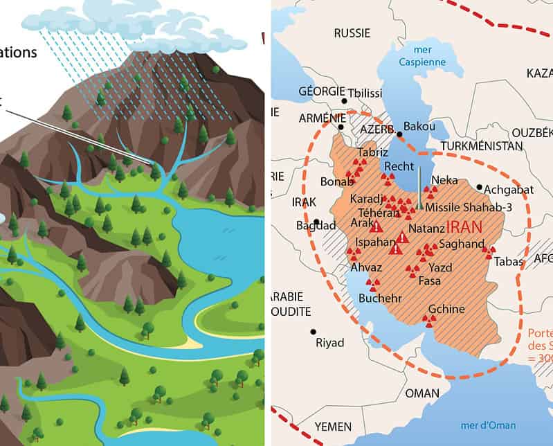
A question like "What is the cost of drawing a map of Europe?" is the same as asking the garage owner what a car costs. The latter will first ask you what options you all need: what engine? Manual or automatic? Electric or gasoline? etc...
It is the same with the drawings we offer. A map of Europe can range from simple (e.g. without rivers and only the capital cities indicated) to super detailed (all city boundaries, hundreds of place names, rivers down to stream level, ...). Maybe some of the data also requires manual work. Maybe we need to look for the right data sources etc... ourselves.
Unless we are billing for time spent, every project begins with a detailed assessment of the work required. We ask the questions needed to define your brief, then propose a price and timeline. You can then decide whether to go ahead.
Our fixed prices always include standard revisions, unless you prefer a different arrangement.
Almost every drawing or map needs revisions after the first proof. Our experience allows us to estimate that work at the outset, taking the type of project and its complexity into account.
We do not limit the number of revision rounds. We do what is needed to achieve the result you want.
With a fixed price that includes revisions, you know your budget from the start. No surprises.
By ‘standard revisions’, we mean almost all the usual adjustments. It is very rare for us to need to revisit the price. Turning a map of Japan into a map of Switzerland would, however, be a change to the brief 😉

With over 37 years of experience, we are still just as enthusiastic about working on your project.
Once started with CorelDRAW 3.0, we have grown with the market over the years and now use tools such as Adobe Illustrator/Photoshop, Procreate, Mapublisher, QGis and so much more.
We are closely monitoring the potential of generative AI and are already using it where it adds value.
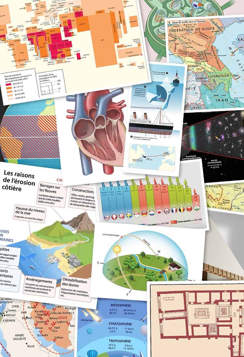
Over the years, we have worked on a wide variety of projects. Whether yours is large or small, we can help.
We are fluent in Dutch, French and English.
We have completed a wide range of projects in each of these three languages, delivering professional results.
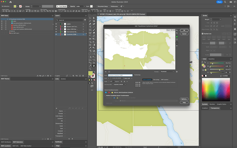
You will not be left with files that are difficult to edit without specialist GIS software, or risk losing their georeferencing when you make changes.
We deliver our maps in the latest version of Adobe Illustrator. The source files contain multiple layers and remain fully editable in Illustrator.
We prefer to work with native Adobe Illustrator PDF files. These files can easily be used directly by the prepress team. PDF files can also be easily opened by other contributors such as authors. Last but not least, PDF files allow anyone to add comments so we can quickly work with your feedback.
Of course, we are completely open to your approach. No problem if you prefer a different approach.
As a partner in several large projects, we know all too well how complex such a project can be.
Everyone involved needs to be on the same page, and the illustrator needs complete, clear instructions. Keeping track of the initial brief and the different rounds of revisions can quickly become complex.
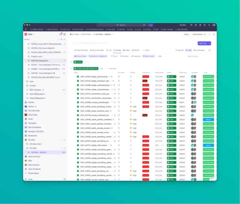
For larger projects, we suggest keeping communication in a project management system rather than relying entirely on email. Each drawing has its own task and status: ready for production, in progress, revisions needed, clarification needed, ready for print, and so on. You can ask questions and discuss each drawing directly within its task.
You can log in at any time to see the progress of each drawing and the project as a whole.
This system is an option, never a requirement. We adapt to your preferred way of working.
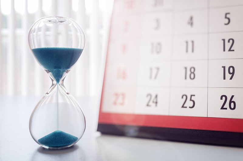
If your project requires it, we can discuss what is needed to meet deadlines.
We communicate clearly about delivery times so that you know what to expect.
We cannot work miracles or complete an atlas in a week, but we take pride in meeting the deadlines we agree with you.